Trails
Maintained by a dedicated crew, the trail system at Maine Huts & Trails is unforgettable. Featuring 50+ miles of winding switchbacks, paths along mountain streams, remote wilderness, and incredible views, the trails leading to the huts are some of the best in the world. When using the trail system, you’ll be following white and blue diamonds; white for the main trail which is groomed for skiing in the winter, and blue for ungroomed side trails. View our full trail map and elevation details and check our trail conditions page for trail work, closures and updates.
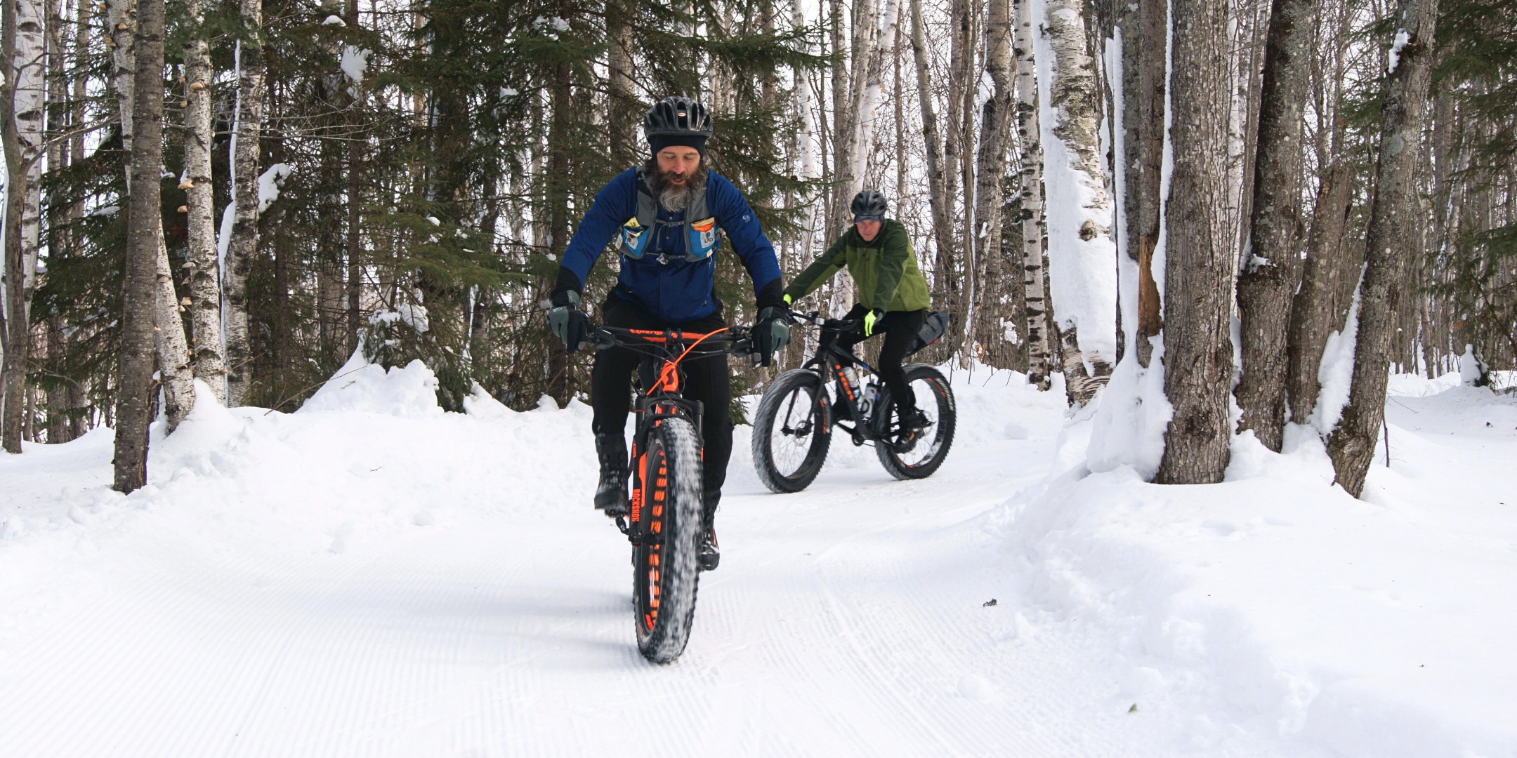
Our trails are non-motorized multi-use. Winter visitors should use Nordic touring or backcountry skis (not skate or race classic), fat bikes with 3.8″+ tires, or snowshoes. Please no walking on groomed trails. Summer is great for all mountain bikes, walkers, hikers, trail runners, and more. We always allow folks with adaptive bikes or skis.
The chart below shows all trails in our network. Select the trails for detailed descriptions and images. Looking for full descriptions on getting to/between the huts? Read our trails to the huts page. Planning a visit in winter? Visit our choosing the best winter trip page for suggestions.
**Our trails connect with others in the area, managed by the Town of Carrabassett Valley, local NEMBA chapter, and the Sugarloaf Outdoor Center. Please visit their pages for other local trail conditions, singletrack mountain bike conditions, closures, and more.**
View Trail Conditions
| Title | Level | Distance | Type | Groomed | Best For |
|---|---|---|---|---|---|
| Lower Newton’s Revenge (Maine Hut Trail) | More Difficult | 1.6 miles | Doubletrack | Yes | Nordic Skiing Snowshoeing Hiking Mountain Biking |
| Upper Newton’s Revenge (Maine Hut Trail) | Most Difficult | .72 miles | Doubletrack | Yes | Nordic Skiing Snowshoeing Hiking Mountain Biking |
| Oak Knoll Trail | More Difficult | 2.6 miles | Singletrack | No | Snowshoeing Hiking Mountain Biking |
| Crommett’s Overlook Trail (Maine Hut Trail) | More Difficult | 3.01 miles | Doubletrack | Yes | Nordic Skiing Snowshoeing Hiking Mountain Biking |
| Airport Trail (Maine Hut Trail) | Easiest | 1.11 miles | Doubletrack | Yes | Nordic Skiing Snowshoeing Hiking Mountain Biking |
| Poplar Stream Trail (Maine Hut Trail) | More Difficult | 1.81 miles | Doubletrack | Yes | Nordic Skiing Snowshoeing Hiking Mountain Biking |
| Warren’s Trail | More Difficult | 1.68 miles | Backcountry | No | Snowshoeing Hiking Swimming Bird Watching |
| Larry’s Trail | More Difficult | 1.03 miles | Backcountry | No | Snowshoeing Hiking |
| Sticky Trail (Maine Hut Trail) | Easiest | 2.8 miles | Doubletrack | Yes | Nordic Skiing Snowshoeing Hiking Mountain Biking Bird Watching Fat Biking |
| Maine Hut Trail – Carriage Road X-ing 2 to Long Falls Dam Road X-ing 1 (winter use only) | More Difficult | 1.5 miles | Doubletrack | Yes | Nordic Skiing Snowshoeing |
| Maine Hut Trail – Long Falls Dam Road X-ing 1 to Halfway Yurt | More Difficult | 1 miles | Doubletrack | Yes | Nordic Skiing Snowshoeing Hiking Mountain Biking Fat Biking |
| Halfway Yurt Vista Trail | Most Difficult | 0.5 miles | Doubletrack | Yes | Nordic Skiing Snowshoeing Hiking Mountain Biking Fat Biking |
| Maine Hut Trail – Halfway Yurt to Flagstaff Trailhead | More Difficult | 3.76 miles | Doubletrack | Yes | Nordic Skiing Snowshoeing Hiking Mountain Biking Fat Biking |
| Maine Hut Trail – Flagstaff Trailhead to Flagstaff Lake Hut | Easiest | 2.2 miles | Doubletrack | Yes | Nordic Skiing Snowshoeing Hiking Mountain Biking Fat Biking |
| Shore Trail | Easiest | 2.05 miles | Backcountry | No | Snowshoeing Hiking |
| Beaver Trail | Easiest | .15 miles | Backcountry | No | Snowshoeing Hiking |
| Birch Trail | Easiest | .22 miles | Backcountry | No | Snowshoeing Hiking |
| Maine Hut Trail – Flagstaff Hut to Day Use Picnic Site | Easiest | 2.6 miles | Doubletrack | Yes | Nordic Skiing Snowshoeing Hiking Mountain Biking Fat Biking |
| Maine Hut Trail – Day Use Picnic Site to Big Eddy Trailhead | More Difficult | 1.2 miles | Doubletrack | Yes | Hiking Mountain Biking Nordic Skiing Snowshoeing Fat Biking |
Hiking
Mountain Biking
Nordic Skiing
Snowshoeing
Fat Biking